
Beschreibung
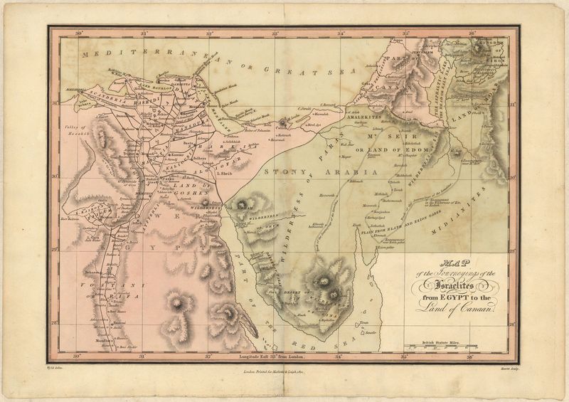
Map of the Journeyings of the Isralites form Egypt to the Land of Canaan.
Mathews & Leigh
Der Auszug der Israliten in das gelobte Land ist Thema dieser Karte. Vom Nildelta über die Halbinsel Sinai schlängelt sich der Weg der Fliehenden bis in die Region Palästina, welche in der Bibel noch den altertümlichen Namen Kanaan trägt.
handkolorierter Kupferstich
Bildmaß: 35 x 25 cm (Höhe x Breite)
This map shows the departure of the Israelites and there journey to the promised land. It covers the area from modern day Egypt, and The Middle East. Mathews and Leigh were two publishers who had a publishing house in London. In 1812 they published different maps of The Holy Land. They were maps of the Middle East that could be used in the Christian story of salvation in The Bible to illustrate and locate important sites.
copperplate engraving
Hand Coloured
35 x 25 cm