
Beschreibung
Rand McNally
Straßenkarte / Staatenkarte
Serie: Folded Map
Massachusetts / USA / Nordamerika
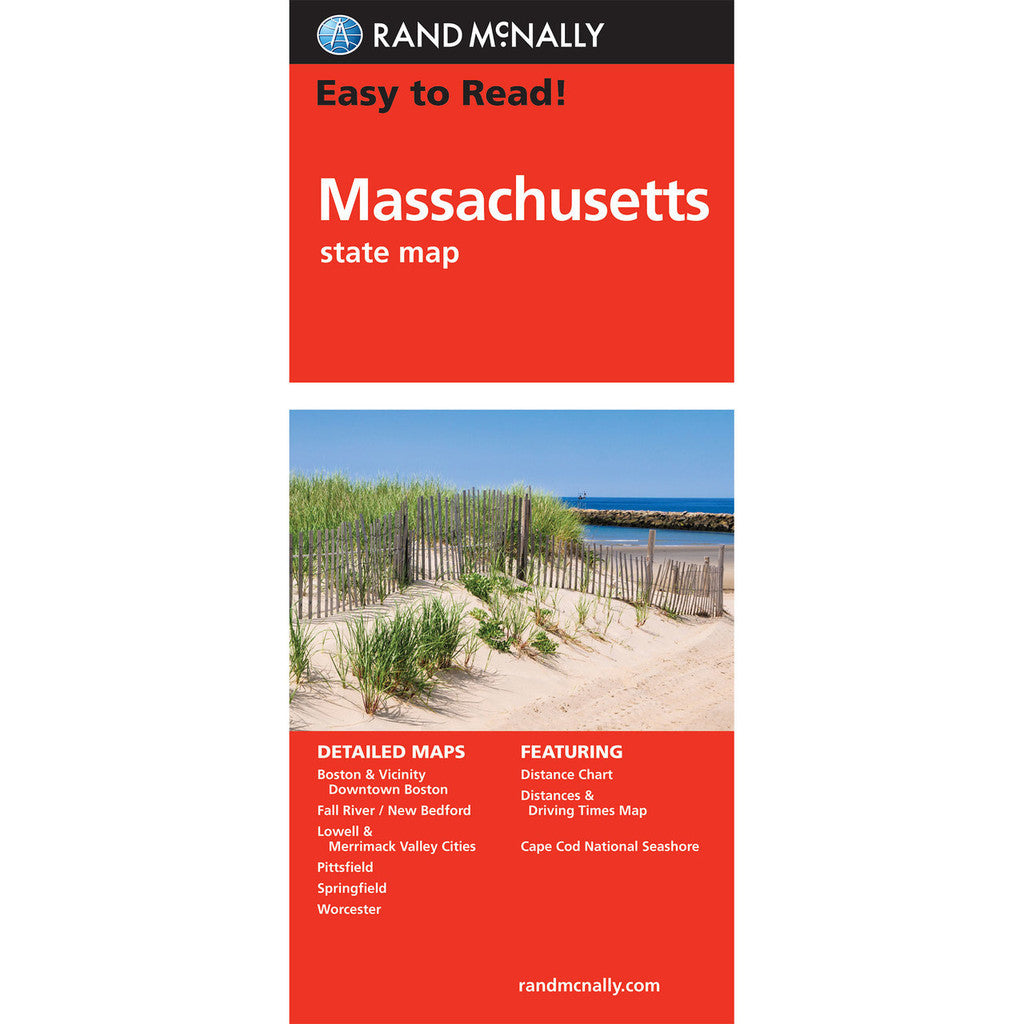
Rand McNally's folded map for Massachusetts is a must-have for anyone traveling in or through the state, offering unbeatable accuracy and reliability at a great price. Our trusted cartography shows all Interstate, U.S., state, and county highways and much more.
- Points of interest
- State park chart
- State mileage chart
- Driving times map
- On-the-road toolbox
- Visitor center information
- Climate data
- State facts & symbols
- Easy-to-use legend
- Detailed indexed
- Copyright 2022
Coverage Area
Detailed maps include: Boston & Vicinity, Downtown Boston, Cape Cod National Seashore, Lowell/Lawrence, New Bedford/Fall River, Springfield, Worcester