


Beschreibung
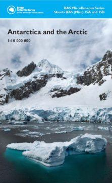
British Antarctic Survey Misc 15A and 15B
doppelseitige Karte
2018
Maße: 89 x 87.5 cm
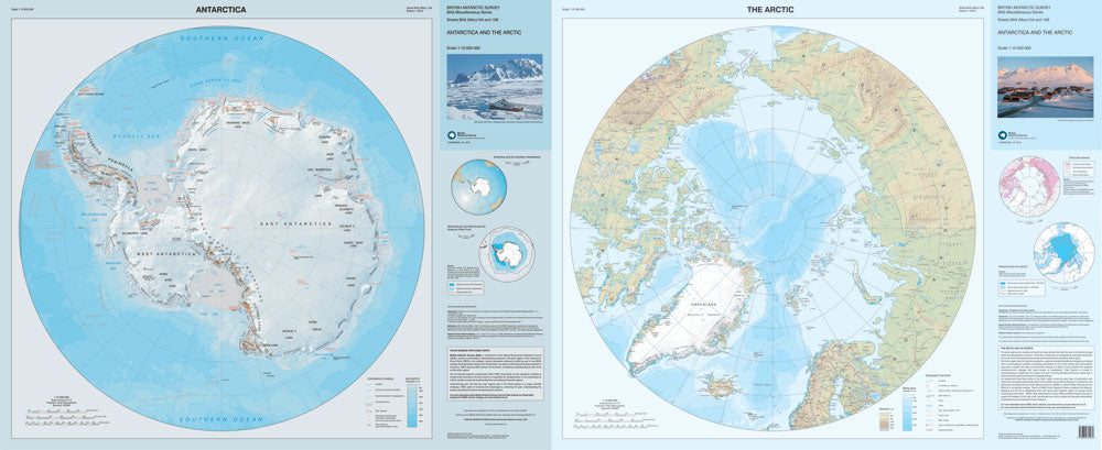
Description: Limits 90° S – 60° S and 90° N – 60° N (all Antarctica south of 60°S and the Arctic north of 60°N).
englisch
Antarktis / Arktis
This double-sided topographic map provides an overview, and comparison, of both polar regions at the same scale and with the same geographical extent. Smaller panels show seasonal sea-ice extent for both areas; Arctic climatic and bio-geographical boundaries, and Antarctica’s relationship to the other southern continents.
Side A: Antarctica. A topographic map of Antarctica, including: Coastline and ice shelves; bathymetry; ice/rock limits; contours, key mountain summits and hill-shaded terrain, and scientific research stations.
Side B: The Arctic. A topographic map of the Arctic, including: Coastline: bathymetry; contours, key mountain summits and hill-shaded terrain, major rivers and lakes, and glaciers and ice caps. It also shows major towns, transport networks, airports and national boundaries.